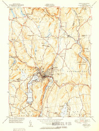
1951 Map of Winsted
USGS Topo · Published 1951About this map
Winsted serves as the industrial and social heart of this Litchfield County landscape, situated at the confluence of the Mad River and Still River. The 1951 geography reveals a dense network of civic and recreational sites, from the County Hosp to the winding shores of Highland Lake, which is divided into First Bay, Second Bay, and Third Bay. The surrounding hills are defined by extensive public lands, including the Algonquin State Forest and American Legion State Forest, alongside numerous summer camps such as Camp Sequassen and Camp Delaware.
Find a feature on this map
62 named features on this map. Tap any name to fly to it.
Don’t see what you’re looking for? This feature index may not catch every label — zoom into the map to look around manually.
Map Details
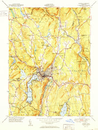
Editions of this 1951 Winsted Map
2 editions found
Other maps of this area

1887 · Granville
USGS Topo · 1:62,500

1888 · Sandisfield
USGS Topo · 1:62,500

1889 · Granville
USGS Topo · 1:62,500

1892 · Winsted
USGS Topo · 1:62,500

1892 · Granby
USGS Topo · 1:62,500

1893 · Granville
USGS Topo · 1:62,500

1893 · Sandisfield
USGS Topo · 1:62,500

1895 · Granville
USGS Topo · 1:62,500

1896 · Holyoke
USGS Topo · 1:125,000

1897 · Sandisfield
USGS Topo · 1:62,500