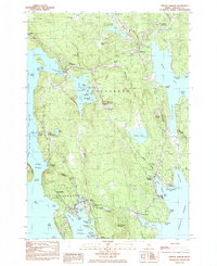
1984 Map of Winter Harbor
USGS Topo · Published 1985About this map
Deep inlets and granite peninsulas define this portion of the Downeast coast, where the villages of Winter Harbor and Gouldsboro serve as hubs for the local fishing and maritime economy. The map details the sophisticated summer colonies of Grindstone Neck alongside established family settlements like West Gouldsboro and Birch Harbor. Significant community landmarks include St Bernard church and several small burial grounds such as Hillside Cem and Taft Cem, which reflect the area's genealogical depth.
Find a feature on this map
98 named features on this map. Tap any name to fly to it.
Don’t see what you’re looking for? This feature index may not catch every label — zoom into the map to look around manually.
Map Details
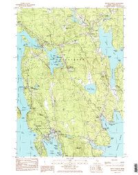
Editions of this 1984 Winter Harbor Map
2 editions found
Other maps of this area

1902 · Cherryfield
USGS Topo · 1:62,500

1904 · Cherryfield
USGS Topo · 1:62,500

1904 · Bar Harbor
USGS Topo · 1:62,500

1904 · Petit Manan
USGS Topo · 1:62,500

1930 · Tunk Lake
USGS Topo · 1:48,000

1932 · Tunk Lake
USGS Topo · 1:62,500

1942 · Bar Harbor
USGS Topo · 1:62,500

1942 · Cherryfield
USGS Topo · 1:62,500

1942 · Tunk Lake
USGS Topo · 1:62,500

1948 · Bangor
USGS Topo · 1:250,000