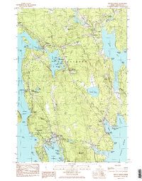
1984 Map of Winter Harbor
USGS Topo · Published 1985About this map
The coastal village of Winter Harbor serves as a focal point for this mid-1980s topographical study of Schoodic Peninsula, where the maritime economy is etched into the landscape through features like Lobster Pound Cove and the Prospect Harbor Point Lighthouse. The map details the transition from established settlements like Gouldsboro and Birch Harbor to the preserved wilderness of Acadia National Park at its southern tip.
Find a feature on this map
91 named features on this map. Tap any name to fly to it.
Don’t see what you’re looking for? This feature index may not catch every label — zoom into the map to look around manually.
Map Details
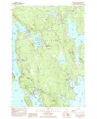
Editions of this 1984 Winter Harbor Map
2 editions found
Other maps of this area

1902 · Cherryfield
USGS Topo · 1:62,500

1904 · Cherryfield
USGS Topo · 1:62,500

1904 · Bar Harbor
USGS Topo · 1:62,500

1904 · Petit Manan
USGS Topo · 1:62,500

1930 · Tunk Lake
USGS Topo · 1:48,000

1932 · Tunk Lake
USGS Topo · 1:62,500

1942 · Bar Harbor
USGS Topo · 1:62,500

1942 · Cherryfield
USGS Topo · 1:62,500

1942 · Tunk Lake
USGS Topo · 1:62,500

1948 · Bangor
USGS Topo · 1:250,000