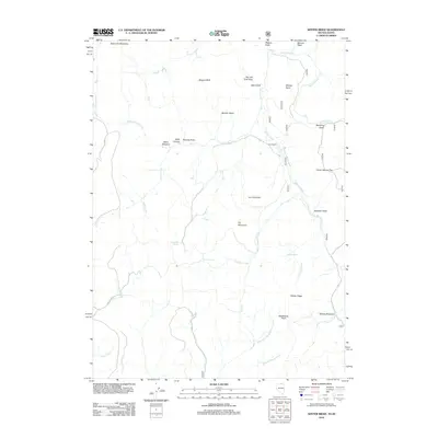
2012 Map of Winter Ridge
USGS Topo · Published 2012About this map
Kunz Ranch stands as a primary point of human activity within this high-country landscape near the Nevada-Idaho border. The terrain is characterized by a series of prominent elevations, including Iron Mountain, Pin Mountain, and the eponymous Winter Ridge, which rises above a complex drainage system. Water sources such as Moonshine Spring, Bruneau Spring, and Iron Spring are critical markers across this dry environment, feeding into creeks like Salmon Creek and Slaughterhouse Creek. The map reveals a network of land management and grazing history through named open spaces like State Line Meadows, Willis Meadow, and Wagner Field. This early 21st-century record also documents curiously named local landmarks, from the narrow passages of Nip and Tuck Draw and Mustang Draw to the high vantage of Whisky Point and the deep cut of Yankee Bill Gulch.
Find a feature on this map
48 named features on this map. Tap any name to fly to it.
Don’t see what you’re looking for? This feature index may not catch every label — zoom into the map to look around manually.
Map Details
Editions of this 2012 Winter Ridge Map
This is the sole edition of this map. No revisions or reprints were ever made.
Other maps of this area

1936 · Mountain City
USGS Topo · 1:62,500

1939 · Owyhee
USGS Topo · 1:62,500

1940 · Mountain City
USGS Topo · 1:62,500

1942 · Owyhee
USGS Topo · 1:62,500

1955 · McDermitt
USGS Topo · 1:250,000

1955 · Jordan Valley
USGS Topo · 1:250,000

1955 · Twin Falls
USGS Topo · 1:250,000

1955 · Wells
USGS Topo · 1:250,000

1957 · Jordan Valley
USGS Topo · 1:250,000

1958 · Wells
USGS Topo · 1:250,000