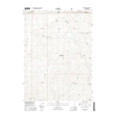
2015 Map of Winter Ridge
USGS Topo · Published 2015About this map
Humboldt National Forest encompasses the high country shown here, where the Nevada-Idaho state line divides a landscape defined by seasonal drainages and remote peaks. This 2015 survey reveals a terrain crisscrossed by livestock and forest management features, including the Natl Forest Develop Road 023 Trl and various springs like Bruneau Spring and Moonshine Spring. Significant landmarks such as Winter Ridge and the Bruneau Range dominate the southern portion of the sheet, while the northern section is characterized by meadows and flats. Historical land use is suggested by family-named features like Yankee Bill Gulch, Ramsey Draw, and Willis Meadow. The map documents the headwaters of several creeks, including Salmon Cr and Slaughterhouse Cr, which carve through the basins and draws of the Elko and Owyhee county borderlands.
Find a feature on this map
56 named features on this map. Tap any name to fly to it.
Don’t see what you’re looking for? This feature index may not catch every label — zoom into the map to look around manually.
Map Details
Editions of this 2015 Winter Ridge Map
This is the sole edition of this map. No revisions or reprints were ever made.
Other maps of this area

1936 · Mountain City
USGS Topo · 1:62,500

1939 · Owyhee
USGS Topo · 1:62,500

1940 · Mountain City
USGS Topo · 1:62,500

1942 · Owyhee
USGS Topo · 1:62,500

1955 · McDermitt
USGS Topo · 1:250,000

1955 · Jordan Valley
USGS Topo · 1:250,000

1955 · Twin Falls
USGS Topo · 1:250,000

1955 · Wells
USGS Topo · 1:250,000

1957 · Jordan Valley
USGS Topo · 1:250,000

1958 · Wells
USGS Topo · 1:250,000