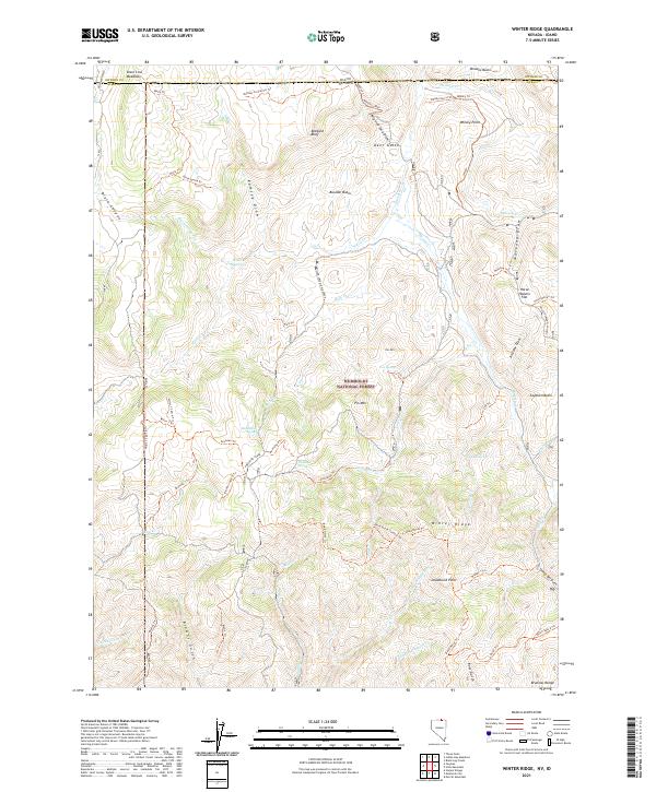
2021 Map of Winter Ridge
USGS Topo · Published 2021About this map
The Humboldt National Forest defines this high-elevation landscape along the Nevada-Idaho border, where the Bruneau Range meets the drainages of the Salmon River system. This territory is marked by a complex network of pack trails and forest tracks, such as Tie Road and the Willis Trl, which navigate a terrain of deep draws and prominent overlooks like Deadhorse Point and Whisky Point. The map captures a high-desert watershed where Merritt Creek and Willis Cr carve through volcanic basins.
Find a feature on this map
83 named features on this map. Tap any name to fly to it.
Don’t see what you’re looking for? This feature index may not catch every label — zoom into the map to look around manually.
Map Details
Editions of this 2021 Winter Ridge Map
This is the sole edition of this map. No revisions or reprints were ever made.
Other maps of this area

1936 · Mountain City
USGS Topo · 1:62,500

1939 · Owyhee
USGS Topo · 1:62,500

1940 · Mountain City
USGS Topo · 1:62,500

1942 · Owyhee
USGS Topo · 1:62,500

1955 · McDermitt
USGS Topo · 1:250,000

1955 · Jordan Valley
USGS Topo · 1:250,000

1955 · Twin Falls
USGS Topo · 1:250,000

1955 · Wells
USGS Topo · 1:250,000

1957 · Jordan Valley
USGS Topo · 1:250,000

1958 · Wells
USGS Topo · 1:250,000