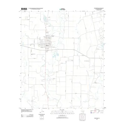
2013 Map of Winters
USGS Topo · Published 2013About this map
Winters serves as the central hub of this North Texas survey, positioned where agricultural land meets the drainages of Bluff Cr and Antelope Cr. The town's layout is meticulously detailed, showing the residential grid from E Jones St down to Charles St, while aviation needs are met by the Winters Municipal Airport and the uniquely named Knot 2 Shabby Airport to the east.
Find a feature on this map
67 named features on this map. Tap any name to fly to it.
Don’t see what you’re looking for? This feature index may not catch every label — zoom into the map to look around manually.
Map Details
Editions of this 2013 Winters Map
This is the sole edition of this map. No revisions or reprints were ever made.
Other maps of this area

1890 · Abilene
USGS Topo · 1:125,000

1891 · Hayrick
USGS Topo · 1:125,000

1892 · Abilene
USGS Topo · 1:125,000

1892 · Ballinger
USGS Topo · 1:125,000

1893 · Sweetwater
USGS Topo · 1:125,000

1894 · Hayrick
USGS Topo · 1:125,000

1921 · Hatchel
USGS Topo · 1:31,680

1921 · Quarry Creek
USGS Topo · 1:31,680

1954 · Brownwood
USGS Topo · 1:250,000

1954 · Big Spring
USGS Topo · 1:250,000