Loading...
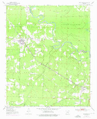
Loading map...1950 Map of Winthrop
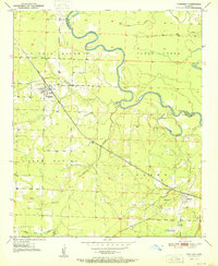
USGS Topo · Published 1976About this map
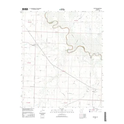
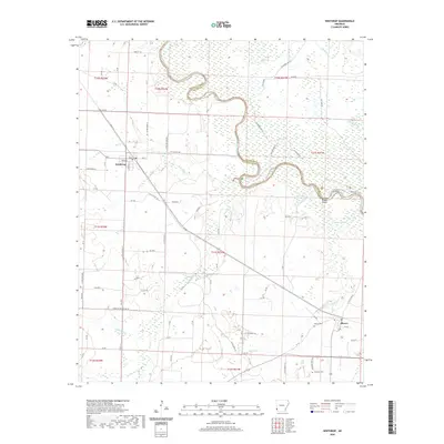
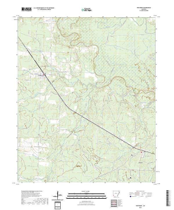
Winthrop and Alleene anchor this landscape along the border of Little River Co and Sevier Co, Arkansas. The Kansas City Southern railroad cuts a sharp diagonal through the terrain, serving as the primary transport artery through the rural Jefferson, Burke, and Jackson townships. Water defines the northern and eastern reaches of the sheet, where the meandering Little River and Clear Creek create a complex network of wetlands and oxbows, including Red Lake and Board Slough.
Find a feature on this map
21 named features on this map. Tap any name to fly to it.
Don’t see what you’re looking for? This feature index may not catch every label — zoom into the map to look around manually.
Map Details
Date Portrayed1950
Date Published1976
PublisherU.S. Geological Survey
Map TypeTopographic
Scale1:24,000
Physical Dimensions22 x 26.9 inches
Editions of this 1950 Winthrop Map
This is the sole edition of this map. No revisions or reprints were ever made.
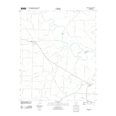
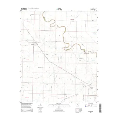
Historical Maps of Winthrop Through Time
7 maps found
Featured Locations
Source Details
SourceU.S. Geological Survey
CopyrightPublic Domain