
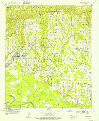
1951 Map of Horatio
USGS Topo · Published 1952About this map
The Kansas City Southern railroad serves as the primary artery through this Sevier County landscape, anchoring the settlement of Horatio and the nearby community of Neal Springs. The map reveals a rural economy shaped by both its waterways and infrastructure, with a significant Pipe Line cutting through the countryside and numerous small bridges crossing Clear Creek and Millwee Creek. In the early 1950s, the social fabric of the area is mapped through its many small spiritual and educational centers, including the Beacon Hill Sch and a high density of country churches such as Boggy Springs Ch and Bradley Chapel. Along the southern boundary, the meandering path of the Little River and the complex drainage of Berks Slough define the border between Sevier and Little River counties, providing a detailed look at the bottomlands before the mid-century landscape was further altered.
Find a feature on this map
35 named features on this map. Tap any name to fly to it.
Don’t see what you’re looking for? This feature index may not catch every label — zoom into the map to look around manually.
Map Details
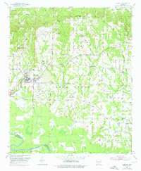
Editions of this 1951 Horatio Map
3 editions found
Other maps of this area

1913 · De Queen
USGS Topo · 1:125,000

1950 · Mcalester
USGS Topo · 1:250,000

1950 · Falls Chapel
USGS Topo · 1:24,000

1950 · Winthrop
USGS Topo · 1:24,000

1951 · Winthrop
USGS Topo · 1:24,000

1951 · Falls Chapel
USGS Topo · 1:24,000

1951 · Arkinda
USGS Topo · 1:24,000

1951 · Cerrogordo
USGS Topo · 1:24,000

1951 · Lockesburg
USGS Topo · 1:24,000

1953 · Texarkana
USGS Topo · 1:250,000