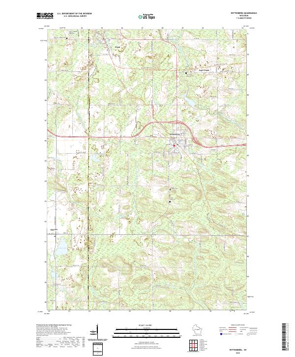
2022 Map of Wittenberg
USGS Topo · Published 2022About this map
Wittenberg and Eland anchor this central Wisconsin map, where the crossing of multi-use trails and river branches defines the local geography. The Mountain-Bay State Trl and Wiouwash State Trl intersect here, following former rail corridors through a landscape drained by the Middle Branch Embarrass River and the S Br Embarrass River. These trails represent a modern repurposing of the transportation infrastructure that once drove the growth of these timber and rail towns. For family historians, the sheet is exceptionally detailed with localized burial sites, including the John Stacy Memorial Cem, Eland Cem, and Holy Family Cem. Smaller settlements and gathering points like Paac Ciinak and Elderon appear alongside scattered water features such as Lilly Lake and Wilson Lake, providing a clear view of the area's transition from early frontier settlement to its current network of agriculture and conservation.
Find a feature on this map
96 named features on this map. Tap any name to fly to it.
Don’t see what you’re looking for? This feature index may not catch every label — zoom into the map to look around manually.
Map Details
Editions of this 2022 Wittenberg Map
This is the sole edition of this map. No revisions or reprints were ever made.
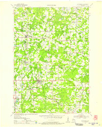
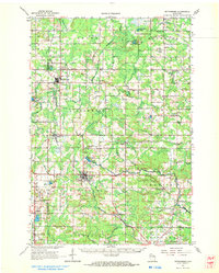
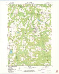
Historical Maps of Elderon Through Time
4 maps found