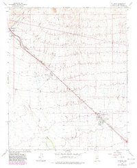
1965 Map of Wittmann
USGS Topo · Published 1982About this map
The Atchison Topeka and Santa Fe railroad serves as the primary artery through this Maricopa County landscape, dictating the placement of settlements like Wittmann and Morristown. In the mid-1960s, this area reflects a desert environment defined by extensive drainage systems including San Domingo Wash and Trilby Wash. The community of Circle City appears as a planned circular development adjacent to the rail line, representing mid-century growth in the arid interior. Cultural details such as the Nadaburg Sch, a small Cem near Morristown, and various Ruins provide evidence of local history and early habitation. The map also captures infrastructure like the Castle Hot Springs Station and several Borrow Pits, which indicate the ongoing development of the regional transportation and transit network during this era.
Find a feature on this map
19 named features on this map. Tap any name to fly to it.
Don’t see what you’re looking for? This feature index may not catch every label — zoom into the map to look around manually.
Map Details
Editions of this 1965 Wittmann Map
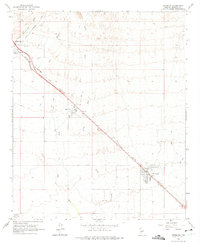
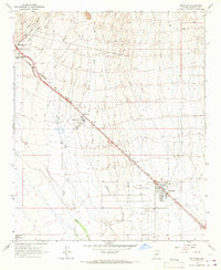
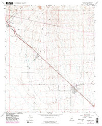
4 editions found
Other maps of this area

1954 · Phoenix
USGS Topo · 1:250,000

1957 · Phoenix
USGS Topo · 1:250,000

1957 · White Tank Mts. NE
USGS Topo · 1:24,000

1957 · McMicken Dam
USGS Topo · 1:24,000

1957 · White Tank Mts.
USGS Topo · 1:62,500

1958 · Phoenix
USGS Topo · 1:250,000

1960 · Phoenix
USGS Topo · 1:250,000
1964 · Garfias Mountain
USGS Topo · 1:24,000
1964 · Wickenburg
USGS Topo · 1:24,000
1964 · Red Picacho
USGS Topo · 1:24,000