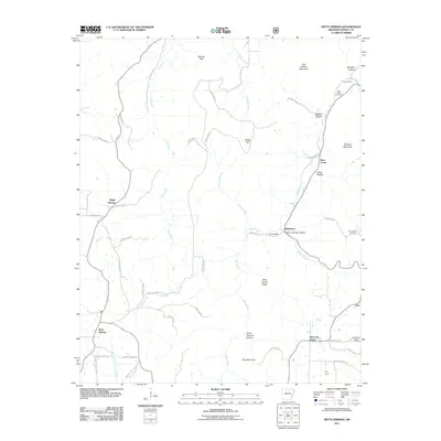
2011 Map of Witts Springs
USGS Topo · Published 2011About this map
Witts Springs and the surrounding rural communities of Searcy County define this landscape of high ridges and deep hollows. The terrain is marked by family-named landmarks and geographic features like Giles Turney Ridge, Lick Owens Mountain, and Jenny Harness Hollow. Settlement patterns follow the creek beds and ridges, with small clusters of development at Welcome Home, Bohannon, and Imo. The map reveals the intricate network of water drainage across the Ozark plateau, dominated by Bear Creek and Calf Creek. Local history is preserved in sites such as Bear Creek Cemetery and Chinquapin Cemetery, which are tucked away near the higher elevations. This document provides a record of the road systems and topographical shifts in northern Arkansas during the early 21st century, showing how modern county roads have adapted to the area's complex elevation changes.
Find a feature on this map
54 named features on this map. Tap any name to fly to it.
Don’t see what you’re looking for? This feature index may not catch every label — zoom into the map to look around manually.
Map Details
Editions of this 2011 Witts Springs Map
This is the sole edition of this map. No revisions or reprints were ever made.
Other maps of this area

1879 · Washington
USGS Topo · 1:62,500

1887 · Smyrna
USGS Topo · 1:62,500

1889 · Marshall #3
USGS Topo · 1:62,500

1892 · Marshall
USGS Topo · 1:125,000

1894 · Marshall
USGS Topo · 1:125,000

1901 · Marshall
USGS Topo · 1:125,000

1939 · Snowball
USGS Topo · 1:62,500

1940 · Smyrna
USGS Topo · 1:62,500

1941 · Snowball
USGS Topo · 1:62,500

1942 · Snowball
USGS Topo · 1:62,500