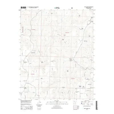
2014 Map of Witts Springs
USGS Topo · Published 2014About this map
Witts Springs serves as a central point of settlement in this Ozark landscape, situated near the headwaters of the Middle Fork Illinois Bayou. The terrain is defined by the deep incisions of the Boston Mountains, where family-named landmarks like Giles Turney Ridge and Housley Mtn rise above numerous hollows. The map illustrates a rural network of small communities including Welcome Home, Imo, and Magic Springs, often connected by winding forest roads and trails such as Airplane Ridge Rd.
Find a feature on this map
82 named features on this map. Tap any name to fly to it.
Don’t see what you’re looking for? This feature index may not catch every label — zoom into the map to look around manually.
Map Details
Editions of this 2014 Witts Springs Map
This is the sole edition of this map. No revisions or reprints were ever made.
Other maps of this area

1879 · Washington
USGS Topo · 1:62,500

1887 · Smyrna
USGS Topo · 1:62,500

1889 · Marshall #3
USGS Topo · 1:62,500

1892 · Marshall
USGS Topo · 1:125,000

1894 · Marshall
USGS Topo · 1:125,000

1901 · Marshall
USGS Topo · 1:125,000

1939 · Snowball
USGS Topo · 1:62,500

1940 · Smyrna
USGS Topo · 1:62,500

1941 · Snowball
USGS Topo · 1:62,500

1942 · Snowball
USGS Topo · 1:62,500