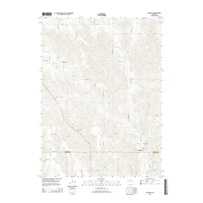
2014 Map of Wolbach
USGS Topo · Published 2014About this map
Wolbach sits at the intersection of Us-281 and Ne-22, serving as a focal point for the surrounding agricultural landscape near the border of Greeley and Howard counties. This 2014 survey reveals a transition in transportation history, where local routes like Old Highway 101 and Stringtown Ave indicate earlier travel patterns. To the northwest, the small settlement of Brayton is nestled along the upper reaches of the W Br Spring Cr. The terrain is defined by the dendritic drainage of Spring Cr and its various branches, which eventually feed toward the Stone Reservoir in the southeast. Genealogists will find the locations of Wolbach Cem and Summit Cem particularly useful for tracing early residents of these plains communities.
Find a feature on this map
38 named features on this map. Tap any name to fly to it.
Don’t see what you’re looking for? This feature index may not catch every label — zoom into the map to look around manually.
Map Details
Editions of this 2014 Wolbach Map
This is the sole edition of this map. No revisions or reprints were ever made.
Other maps of this area

1899 · Loup
USGS Topo · 1:125,000

1899 · St. Paul
USGS Topo · 1:125,000

1953 · Scotia NE
USGS Topo · 1:24,000

1953 · Elba
USGS Topo · 1:24,000

1954 · Greeley
USGS Topo · 1:24,000

1954 · Spalding SW
USGS Topo · 1:24,000

1954 · Wolbach
USGS Topo · 1:24,000

1954 · Wolbach NE
USGS Topo · 1:24,000

1954 · Spalding SE
USGS Topo · 1:24,000

1955 · Broken Bow
USGS Topo · 1:250,000