Loading...
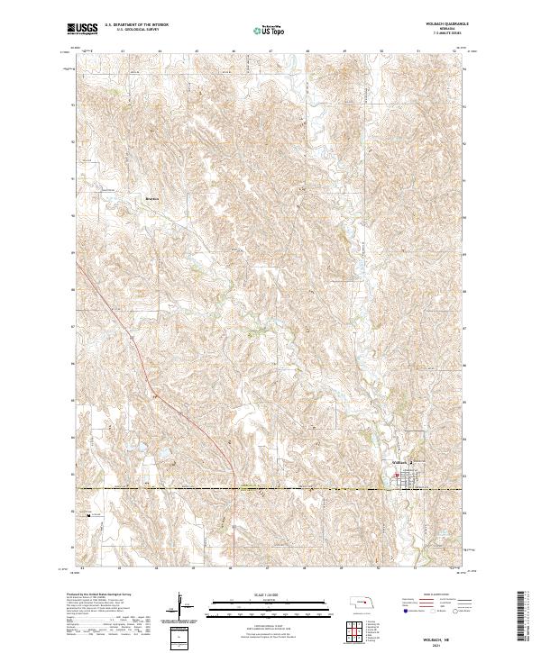
Loading map...2021 Map of Wolbach
USGS Topo · Published 2021About this map
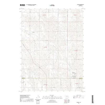
Wolbach serves as the primary hub in this Nebraska landscape, situated near the junction of Greeley Ave and Drummond Ave. The town's grid is anchored by essential local infrastructure, including a Po and Hillside Cem located just to the northeast. To the west, the smaller settlement of Brayton sits along Brayton Rd, marking a point of interest for those tracing family roots in the central plains.
Find a feature on this map
26 named features on this map. Tap any name to fly to it.
Don’t see what you’re looking for? This feature index may not catch every label — zoom into the map to look around manually.
Map Details
Date Portrayed2021
Date Published2021
PublisherU.S. Geological Survey
Map TypeTopographic
Scale1:24,000
Physical Dimensions24 x 29 inches
Editions of this 2021 Wolbach Map
This is the sole edition of this map. No revisions or reprints were ever made.
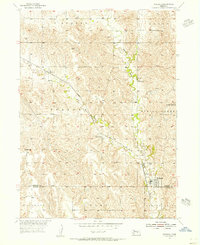
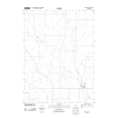
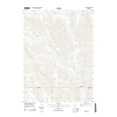
Historical Maps of Wolbach Through Time
5 maps found
Featured Locations
Source Details
SourceU.S. Geological Survey
CopyrightPublic Domain