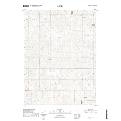
2017 Map of Wolbach NE
USGS Topo · Published 2017About this map
Merrick, Howard, Greeley, and Boone counties meet in this agricultural landscape defined by the intersection of four different townships. The drainage of the S Br Timber Cr and Cottonwood Cr carves a dissected plateau where the section-line road grid adapts to the terrain. Notable local routes include Greeley Ave, which serves as a primary east-west corridor, and Merrick Rd, tracing the southern county boundary. While the map is dominated by open ranch and farmland, the presence of W P A Rd offers a subtle nod to mid-20th-century infrastructure development in this rural corner of Nebraska. The hydrology is sparse, with small seasonal flows like Rock Cr providing the primary relief in an otherwise uniform upland topography.
Find a feature on this map
33 named features on this map. Tap any name to fly to it.
Don’t see what you’re looking for? This feature index may not catch every label — zoom into the map to look around manually.
Map Details
Editions of this 2017 Wolbach NE Map
This is the sole edition of this map. No revisions or reprints were ever made.
Other maps of this area

1899 · St. Paul
USGS Topo · 1:125,000

1954 · Cedar Rapids
USGS Topo · 1:24,000

1954 · Spalding SW
USGS Topo · 1:24,000

1954 · Wolbach
USGS Topo · 1:24,000

1954 · Wolbach NE
USGS Topo · 1:24,000

1954 · Belgrade NW
USGS Topo · 1:24,000

1954 · Spalding SE
USGS Topo · 1:24,000

1955 · Belgrade SW
USGS Topo · 1:24,000

1955 · Broken Bow
USGS Topo · 1:250,000

1955 · Wolbach SW
USGS Topo · 1:24,000