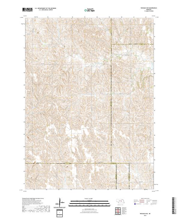
2021 Map of Wolbach NE
USGS Topo · Published 2021About this map
The rolling tablelands of central Nebraska converge where Greeley, Boone, Nance, Howard, and Merrick Counties meet. This landscape is defined by the drainage basins of S Br Timber Cr, Rock Cr, and Cottonwood Cr, which carve through the high plains topography. The map illustrates a highly organized rural infrastructure, dominated by a grid of section-line roads such as Brady Rd and Cody Rd. A notable historical detail is the presence of W P A Rd, a name referencing mid-century public works heritage. The intersection of five county lines within this single quadrangle highlight its importance as a jurisdictional boundary zone, where the agricultural sections of t17n r9w and surrounding townships are meticulously partitioned for modern land management.
Find a feature on this map
37 named features on this map. Tap any name to fly to it.
Don’t see what you’re looking for? This feature index may not catch every label — zoom into the map to look around manually.
Map Details
Editions of this 2021 Wolbach NE Map
This is the sole edition of this map. No revisions or reprints were ever made.
Other maps of this area

1899 · St. Paul
USGS Topo · 1:125,000

1954 · Cedar Rapids
USGS Topo · 1:24,000

1954 · Spalding SW
USGS Topo · 1:24,000

1954 · Wolbach
USGS Topo · 1:24,000

1954 · Wolbach NE
USGS Topo · 1:24,000

1954 · Belgrade NW
USGS Topo · 1:24,000

1954 · Spalding SE
USGS Topo · 1:24,000

1955 · Belgrade SW
USGS Topo · 1:24,000

1955 · Broken Bow
USGS Topo · 1:250,000

1955 · Wolbach SW
USGS Topo · 1:24,000