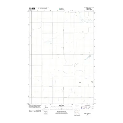
2011 Map of Wolf Butte
USGS Topo · Published 2011About this map
Wolf Butte rises above the open prairie of Adams County, anchoring a landscape shaped by intermittent watercourses and a strict section-line road grid. The eastern portion of the map is defined by the drainage of Cedar Creek and its tributaries, while the private aviation infrastructure at Thorson Landing Strip highlights the sparse, rural nature of this North Dakota borderland. Water management in this arid environment is evident at Wolf Butte Dam, which captures runoff from Wolf Butte Creek. To the west, the winding path of Russian Slough and the reaches of Duck Creek cross an area characterized by scattered wetlands and small ponds. This 2011 survey documents a modern cattle-ranching and agricultural layout, where travel is dictated by numbered avenues and streets like 18th Ave NW and 11th St NW.
Find a feature on this map
19 named features on this map. Tap any name to fly to it.
Don’t see what you’re looking for? This feature index may not catch every label — zoom into the map to look around manually.
Map Details
Editions of this 2011 Wolf Butte Map
This is the sole edition of this map. No revisions or reprints were ever made.
Other maps of this area

1953 · Dickinson
USGS Topo · 1:250,000

1957 · Dickinson
USGS Topo · 1:250,000

1969 · Reeder
USGS Topo · 1:24,000

1973 · Liens Dams
USGS Topo · 1:24,000

1973 · Cedar Lake
USGS Topo · 1:24,000

1973 · Enterprise School
USGS Topo · 1:24,000

1974 · Hettinger North
USGS Topo · 1:24,000

1980 · Mott
USGS Topo · 1:100,000
2011 · Enterprise School
USGS Topo · 1:24,000
2011 · Reeder
USGS Topo · 1:24,000