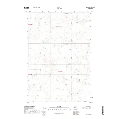
2018 Map of Wolf Butte
USGS Topo · Published 2018About this map
Wolf Butte stands as a prominent elevation in this corner of Adams County, rising above a landscape defined by an orderly grid of section-line roads. The area's spiritual and social history is anchored at the Wolf Butte Lutheran Cem, a local landmark located near the intersection of 14th Ave NW and 9th St NW. The drainage patterns of the High Plains are clearly visible here, with Russian Slough in the northwest and the winding paths of Wolf Butte Cr and Duck Cr cutting across the prairies. This survey illustrates the persistent township and range system that organized North Dakota's settlement, showing how modern infrastructure follows the original nineteenth-century territorial divisions.
Find a feature on this map
24 named features on this map. Tap any name to fly to it.
Don’t see what you’re looking for? This feature index may not catch every label — zoom into the map to look around manually.
Map Details
Editions of this 2018 Wolf Butte Map
This is the sole edition of this map. No revisions or reprints were ever made.
Other maps of this area

1953 · Dickinson
USGS Topo · 1:250,000

1957 · Dickinson
USGS Topo · 1:250,000

1969 · Reeder
USGS Topo · 1:24,000

1973 · Liens Dams
USGS Topo · 1:24,000

1973 · Cedar Lake
USGS Topo · 1:24,000

1973 · Enterprise School
USGS Topo · 1:24,000

1974 · Hettinger North
USGS Topo · 1:24,000

1980 · Mott
USGS Topo · 1:100,000
2011 · Enterprise School
USGS Topo · 1:24,000
2011 · Reeder
USGS Topo · 1:24,000