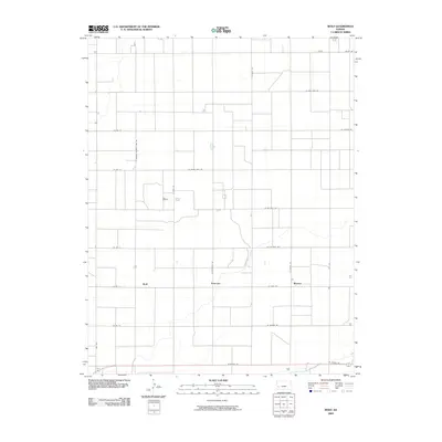
2009 Map of Wolf
USGS Topo · Published 2009About this map
Wolf, Peterson, and Ritchal anchor this western Kansas landscape, defined by a rigid section-line road grid that characterizes the high plains' agricultural development. The terrain is notably influenced by the Great Eastern Ditch, a critical piece of irrigation infrastructure that cuts across the central portion of the quadrangle. This network of canals and ditches reflects the region's historical adaptation to arid conditions, allowing for more intensive land use than the surrounding dry prairie would naturally permit.
Find a feature on this map
26 named features on this map. Tap any name to fly to it.
Don’t see what you’re looking for? This feature index may not catch every label — zoom into the map to look around manually.
Map Details
Editions of this 2009 Wolf Map
This is the sole edition of this map. No revisions or reprints were ever made.
Other maps of this area

1891 · Larned
USGS Topo · 1:125,000

1896 · Garden
USGS Topo · 1:125,000

1900 · Lakin
USGS Topo · 1:125,000

1944 · Tennis
USGS Topo · 1:62,500

1955 · Dodge City
USGS Topo · 1:250,000

1955 · Scott City
USGS Topo · 1:250,000

1958 · Dodge City
USGS Topo · 1:250,000

1958 · Scott City
USGS Topo · 1:250,000

1959 · Dodge City
USGS Topo · 1:250,000

1960 · Deerfield
USGS Topo · 1:24,000