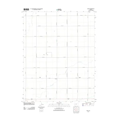
2012 Map of Wolf
USGS Topo · Published 2012About this map
Great Eastern Ditch and Farmers Ditch define the agricultural landscape of this western Kansas territory, illustrating the critical role of irrigation infrastructure in the region. The map centers on a series of small rural settlements including Wolf, Peterson, and Ritchal, which are connected by a highly regularized grid of section-line roads such as W Miller Rd and W Lowe Rd. This layout reflects the late-period refinement of the township-and-range system, where arterial routes like N Peterson Rd facilitate movement across the agricultural expanse. The presence of these irrigation canals alongside named junctions provides a clear record of the intersection between early twentieth-century water management and the spatial organization of farming communities in Finney County.
Find a feature on this map
29 named features on this map. Tap any name to fly to it.
Don’t see what you’re looking for? This feature index may not catch every label — zoom into the map to look around manually.
Map Details
Editions of this 2012 Wolf Map
This is the sole edition of this map. No revisions or reprints were ever made.
Other maps of this area

1891 · Larned
USGS Topo · 1:125,000

1896 · Garden
USGS Topo · 1:125,000

1900 · Lakin
USGS Topo · 1:125,000

1944 · Tennis
USGS Topo · 1:62,500

1955 · Dodge City
USGS Topo · 1:250,000

1955 · Scott City
USGS Topo · 1:250,000

1958 · Dodge City
USGS Topo · 1:250,000

1958 · Scott City
USGS Topo · 1:250,000

1959 · Dodge City
USGS Topo · 1:250,000

1960 · Deerfield
USGS Topo · 1:24,000