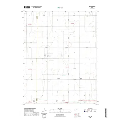
2018 Map of Wolf
USGS Topo · Published 2018About this map
Agricultural development in western Kansas is defined by the critical water infrastructure and rectilinear road grid shown in this recent survey. The landscape is dominated by the Great Eastern Ditch and Farmers Ditch, which cut across the prairie to provide essential irrigation for the surrounding fields. These man-made watercourses run parallel to the southern boundary, following the natural contours of the land even as the road system enforces a strict section-line hierarchy. The small settlements of Wolf, Peterson, and Ritchal are spaced along W Lowe Rd, highlighting the historic importance of east-west transit corridors in this region.
Find a feature on this map
39 named features on this map. Tap any name to fly to it.
Don’t see what you’re looking for? This feature index may not catch every label — zoom into the map to look around manually.
Map Details
Editions of this 2018 Wolf Map
This is the sole edition of this map. No revisions or reprints were ever made.
Other maps of this area

1891 · Larned
USGS Topo · 1:125,000

1896 · Garden
USGS Topo · 1:125,000

1900 · Lakin
USGS Topo · 1:125,000

1944 · Tennis
USGS Topo · 1:62,500

1955 · Dodge City
USGS Topo · 1:250,000

1955 · Scott City
USGS Topo · 1:250,000

1958 · Dodge City
USGS Topo · 1:250,000

1958 · Scott City
USGS Topo · 1:250,000

1959 · Dodge City
USGS Topo · 1:250,000

1960 · Deerfield
USGS Topo · 1:24,000