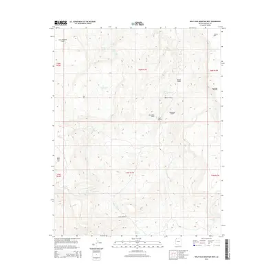
2014 Map of Wolf Hole Mountain West
USGS Topo · Published 2014About this map
Wolf Hole Mountain and the surrounding high-desert plateau dominate this section of Mohave County, where life and movement are dictated by the scarce presence of water. The landscape is a network of named springs and strategic catchments, such as Atkin Spring, Mustang Spring, and the Wolf-Hole-Wildlife-Reservoir, which supported the livestock and wildlife of the Mojave Desert. The rugged topography is defined by significant transitions, most notably at Little Wolf Pass and through the descent of Little Purgatory Canyon. While the area lacks traditional towns, the naming of features like Low Mountain Reservoir and Maple Reservoir speaks to a legacy of ranching and land management on the Arizona Strip. This 2014 survey documents the enduring physical character of a region where landmarks like Black Rock Mtn and Tombstone Canyon remain essential for orientation in an otherwise expansive and unpopulated terrain.
Find a feature on this map
34 named features on this map. Tap any name to fly to it.
Don’t see what you’re looking for? This feature index may not catch every label — zoom into the map to look around manually.
Map Details
Editions of this 2014 Wolf Hole Mountain West Map
This is the sole edition of this map. No revisions or reprints were ever made.
Other maps of this area

1886 · Mt. Trumbull
USGS Topo · 1:250,000

1892 · Mt. Trumbull
USGS Topo · 1:250,000

1953 · Grand Canyon
USGS Topo · 1:250,000

1954 · Wolf Hole Mtn. NW
USGS Topo · 1:24,000

1954 · Wolf Hole Mtn. NE
USGS Topo · 1:24,000

1954 · Littlefield 3 NE
USGS Topo · 1:24,000

1954 · Littlefield
USGS Topo · 1:62,500

1954 · Cane Springs
USGS Topo · 1:62,500

1957 · Grand Canyon
USGS Topo · 1:250,000

1958 · Grand Canyon
USGS Topo · 1:250,000