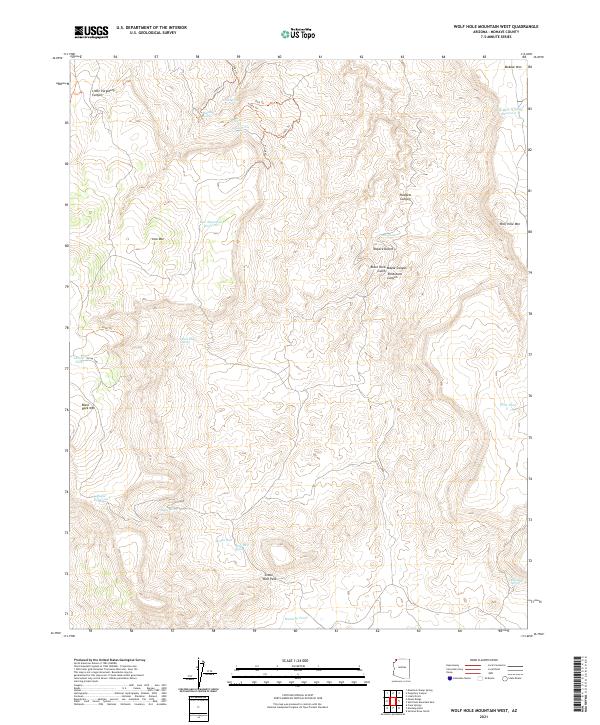
2021 Map of Wolf Hole Mountain West
USGS Topo · Published 2021About this map
Wolf Hole Mountain and Black Rock Mountain dominate this corner of the Mojave Desert in Mohave County, where the landscape is defined by the critical search for water in an arid environment. The map reveals a sophisticated network of water management features, ranging from natural seeps like Alkaline Seep to developed resources such as Maple Reservoir and Wolf Hole Wildlife Reservoir. These water sources are connected by a series of historic tracks, including 1959 Trl and 1961 Trl, which likely supported livestock grazing or local transit between the plateaus.
Find a feature on this map
41 named features on this map. Tap any name to fly to it.
Don’t see what you’re looking for? This feature index may not catch every label — zoom into the map to look around manually.
Map Details
Editions of this 2021 Wolf Hole Mountain West Map
This is the sole edition of this map. No revisions or reprints were ever made.
Other maps of this area

1886 · Mt. Trumbull
USGS Topo · 1:250,000

1892 · Mt. Trumbull
USGS Topo · 1:250,000

1953 · Grand Canyon
USGS Topo · 1:250,000

1954 · Wolf Hole Mtn. NW
USGS Topo · 1:24,000

1954 · Wolf Hole Mtn. NE
USGS Topo · 1:24,000

1954 · Littlefield 3 NE
USGS Topo · 1:24,000

1954 · Littlefield
USGS Topo · 1:62,500

1954 · Cane Springs
USGS Topo · 1:62,500

1957 · Grand Canyon
USGS Topo · 1:250,000

1958 · Grand Canyon
USGS Topo · 1:250,000