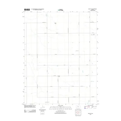
2012 Map of Wolf NE
USGS Topo · Published 2012About this map
Nunn Oil Field and the Amazon Ditch Oil Field highlight the industrial energy footprint within this agricultural landscape of western Kansas. The terrain is defined by the subtle drainage of Crozier Draw in the north and Campbell Draw near the center, set against an incredibly precise grid of section-line roads. This network includes notable thoroughfares such as N Kearny Co Line Rd, marking the boundary of Finney County, along with N Kansas Nebraska Rd and N Ibp Rd. The presence of the R J C Farms Inc Airport in the northeast quadrant underscores the role of private aviation in managing large-scale farming operations in this part of the High Plains. Every mile is etched with named rural routes like W Mead Rd and W Tennis Rd, illustrating a highly organized spatial economy where every acre is accounted for.
Find a feature on this map
23 named features on this map. Tap any name to fly to it.
Don’t see what you’re looking for? This feature index may not catch every label — zoom into the map to look around manually.
Map Details
Editions of this 2012 Wolf NE Map
This is the sole edition of this map. No revisions or reprints were ever made.
Other maps of this area

1940 · Scott City
USGS Topo · 1:62,500

1941 · Modoc
USGS Topo · 1:62,500

1944 · Tennis
USGS Topo · 1:62,500

1951 · Scott City
USGS Topo · 1:62,500

1951 · Modoc
USGS Topo · 1:62,500

1955 · Scott City
USGS Topo · 1:250,000

1958 · Scott City
USGS Topo · 1:250,000
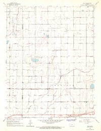
1965 · Wolf
USGS Topo · 1:24,000

1965 · Wolf NW
USGS Topo · 1:24,000

1965 · Wolf NE
USGS Topo · 1:24,000