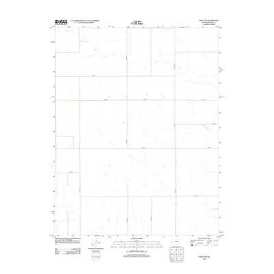
2012 Map of Wolf NW
USGS Topo · Published 2012About this map
The High Plains of Kearny County are defined by a strict geometric grid of section lines and gravel paths, where Co Road T and Co Road V stretch across the open landscape. This 2012 survey illustrates the systematic division of agricultural land characteristic of western Kansas, showing how essential transport arteries like Co Road R and Co Road U navigate the subtle drainage patterns that cross the terrain. Lateral routes including Co Rd-4, Co Rd-5, and Co Rd-7 provide the primary infrastructure for this rural expanse. The map records the intersection of modern cartographic precision with the enduring layout of the American homestead system, highlighting the sparse but vital network of roads like Co Rd-8 that sustain the region's ranching and farming operations.
Find a feature on this map
10 named features on this map. Tap any name to fly to it.
Don’t see what you’re looking for? This feature index may not catch every label — zoom into the map to look around manually.
Map Details
Editions of this 2012 Wolf NW Map
This is the sole edition of this map. No revisions or reprints were ever made.
Other maps of this area

1941 · Modoc
USGS Topo · 1:62,500

1951 · Modoc
USGS Topo · 1:62,500

1955 · Scott City
USGS Topo · 1:250,000

1958 · Scott City
USGS Topo · 1:250,000
1965 · Wolf
USGS Topo · 1:24,000

1965 · Leoti 3 NE
USGS Topo · 1:24,000

1965 · Wolf NW
USGS Topo · 1:24,000

1965 · Wolf NE
USGS Topo · 1:24,000
1966 · Wolf SW
USGS Topo · 1:24,000
1966 · Leoti 3 SE
USGS Topo · 1:24,000