
1965 Map of Wolf NW
USGS Topo · Published 1967About this map
East Hibbard defines the landscape of this Kearny County quadrangle, where the High Plains terrain is carved by seasonal drainage systems. The survey captures a period of intensive energy exploration in the mid-1960s, evidenced by a dense network of extraction points. Natural features like Campbell Draw, James Draw, and Crozier Draw cut through the topography, while a network of service roads and a Pipeline indicate the infrastructure supporting the local industry. This map reveals the transition of the Kansas prairie into a productive resource field, dotted with numerous Gas Wells, Oil Wells, and exploratory Drill Holes. The absence of formal town sites highlights the area's character as a specialized industrial and grazing landscape defined more by its subterranean wealth and surface hydrology than by permanent settlement.
Find a feature on this map
9 named features on this map. Tap any name to fly to it.
Don’t see what you’re looking for? This feature index may not catch every label — zoom into the map to look around manually.
Map Details
Editions of this 1965 Wolf NW Map
This is the sole edition of this map. No revisions or reprints were ever made.
Other maps of this area

1941 · Modoc
USGS Topo · 1:62,500

1951 · Modoc
USGS Topo · 1:62,500

1955 · Scott City
USGS Topo · 1:250,000

1958 · Scott City
USGS Topo · 1:250,000
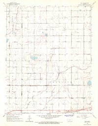
1965 · Wolf
USGS Topo · 1:24,000

1965 · Leoti 3 NE
USGS Topo · 1:24,000

1965 · Wolf NE
USGS Topo · 1:24,000
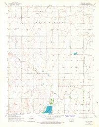
1966 · Wolf SW
USGS Topo · 1:24,000
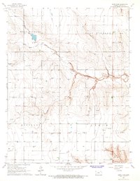
1966 · Leoti 3 SE
USGS Topo · 1:24,000

1970 · Lydia
USGS Topo · 1:24,000