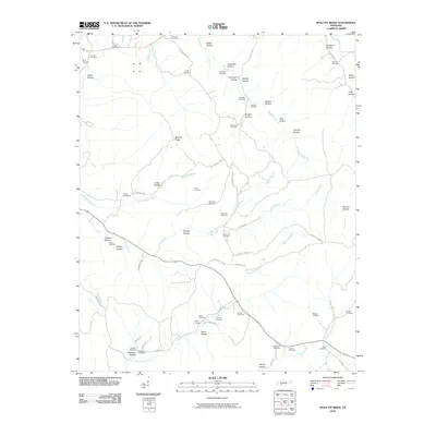
2010 Map of Wolf Pit Ridge
USGS Topo · Published 2010About this map
Wolf Pit Ridge serves as the high ground in this network of hollows and creek branches in Hardin County. The landscape is defined by its numerous family burial grounds, reflecting deep ancestral ties to the land through sites like Hames Cemetery, Smith-Rose Cemetery, and Harbour Cemetery. The drainage pattern is intricate, with Turkey Creek and its various tributaries such as Baugus Branch and Gobbler Branch carving out distinct valleys like Puncheon Hollow and Wildcat Hollow.
Find a feature on this map
73 named features on this map. Tap any name to fly to it.
Don’t see what you’re looking for? This feature index may not catch every label — zoom into the map to look around manually.
Map Details
Editions of this 2010 Wolf Pit Ridge Map
This is the sole edition of this map. No revisions or reprints were ever made.
Other maps of this area

1905 · Waynesboro
USGS Topo · 1:125,000

1936 · Savannah
USGS Topo · 1:24,000

1936 · Wolf Pit Ridge
USGS Topo · 1:24,000

1936 · Hookers Bend
USGS Topo · 1:24,000

1936 · Eagle Creek
USGS Topo · 1:24,000

1936 · Olivehill
USGS Topo · 1:24,000

1936 · Pickwick
USGS Topo · 1:24,000

1936 · Ransom Stand
USGS Topo · 1:24,000

1936 · Lowryville
USGS Topo · 1:24,000

1936 · Martins Mills
USGS Topo · 1:24,000