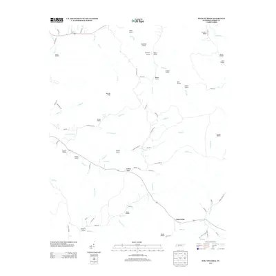
2013 Map of Wolf Pit Ridge
USGS Topo · Published 2013About this map
Center Star serves as a central hub in this corner of Hardin County, where the convergence of rural routes like Lonesome Pine Rd and Highway 203 defines the local geography. The landscape is deeply carved by numerous hollows, such as Smith Hollow and Puncheon Hollow, which feed into an intricate drainage system including Smith Fork and Little Turkey Cr. The presence of Porter Mill Br and the nearby settlement of Gillisses Mills suggests a history tied to water-powered industry along the regional creeks. In the higher elevations, Wolf Pit Ridge overlooks a terrain where family names are etched into the land, from Sutton Hollow to McClarin Hollow. This map documents a contemporary rural Tennessee environment where modern paved roads intersect with older lanes like Old Town Loop, maintaining the footprint of long-established settlements and agricultural sites near the banks of Horse Cr.
Find a feature on this map
75 named features on this map. Tap any name to fly to it.
Don’t see what you’re looking for? This feature index may not catch every label — zoom into the map to look around manually.
Map Details
Editions of this 2013 Wolf Pit Ridge Map
This is the sole edition of this map. No revisions or reprints were ever made.
Other maps of this area

1905 · Waynesboro
USGS Topo · 1:125,000

1936 · Savannah
USGS Topo · 1:24,000

1936 · Wolf Pit Ridge
USGS Topo · 1:24,000

1936 · Hookers Bend
USGS Topo · 1:24,000

1936 · Eagle Creek
USGS Topo · 1:24,000

1936 · Olivehill
USGS Topo · 1:24,000

1936 · Pickwick
USGS Topo · 1:24,000

1936 · Ransom Stand
USGS Topo · 1:24,000

1936 · Lowryville
USGS Topo · 1:24,000

1936 · Martins Mills
USGS Topo · 1:24,000