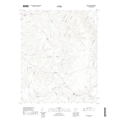
2019 Map of Wolf Pit Ridge
USGS Topo · Published 2019About this map
Center Star and Gillises Mills anchor this portion of Hardin County, where the landscape is defined by a dense network of named hollows and ridge systems. The terrain is heavily dissected, with Wolf Pit Ridge standing as a central prominence between Sutton Hollow and Godwin Mill Hollow. Waterways such as Boon Cr and Turkey Cr drain the various valleys, while Baugus Spring provides a distinct hydrological point of interest in the central hills.
Find a feature on this map
59 named features on this map. Tap any name to fly to it.
Don’t see what you’re looking for? This feature index may not catch every label — zoom into the map to look around manually.
Map Details
Editions of this 2019 Wolf Pit Ridge Map
This is the sole edition of this map. No revisions or reprints were ever made.
Other maps of this area

1905 · Waynesboro
USGS Topo · 1:125,000

1936 · Savannah
USGS Topo · 1:24,000

1936 · Wolf Pit Ridge
USGS Topo · 1:24,000

1936 · Hookers Bend
USGS Topo · 1:24,000

1936 · Eagle Creek
USGS Topo · 1:24,000

1936 · Olivehill
USGS Topo · 1:24,000

1936 · Pickwick
USGS Topo · 1:24,000

1936 · Ransom Stand
USGS Topo · 1:24,000

1936 · Lowryville
USGS Topo · 1:24,000

1936 · Martins Mills
USGS Topo · 1:24,000