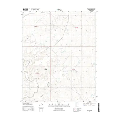
2017 Map of Wolf Stand
USGS Topo · Published 2017About this map
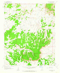
The settlement of Torreon and the nearby locale of Wolf Stand anchor this high-desert landscape in Sandoval County. The terrain is defined by a network of seasonal watercourses and drainage features, including the prominent Torreon Wash and San Isidro Wash, which carve through the arid geography. A sophisticated system of water management is evident in the numerous named tanks such as Thunderhead Tank, Geronimo Tank, and Old Hogan Tank, supporting life and livestock in a region where water is a critical resource.
Find a feature on this map
41 named features on this map. Tap any name to fly to it.
Don’t see what you’re looking for? This feature index may not catch every label — zoom into the map to look around manually.
Map Details
Editions of this 2017 Wolf Stand Map
This is the sole edition of this map. No revisions or reprints were ever made.
Other maps of this area

1883 · Mt. Taylor
USGS Topo · 1:250,000

1886 · Mt. Taylor
USGS Topo · 1:250,000

1892 · Mt. Taylor
USGS Topo · 1:250,000

1899 · Mt. Taylor
USGS Topo · 1:250,000

1958 · Albuquerque
USGS Topo · 1:250,000
1961 · Ojo Encino Mesa
USGS Topo · 1:24,000
1961 · Johnson Trading Post
USGS Topo · 1:24,000
1961 · Headcut Reservoir
USGS Topo · 1:24,000

1961 · Arroyo Empedrado
USGS Topo · 1:24,000
1961 · Mesa Portales
USGS Topo · 1:24,000