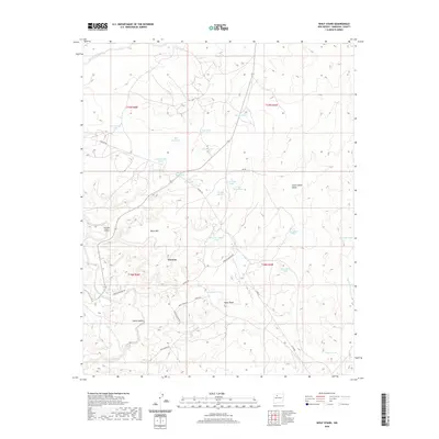
2020 Map of Wolf Stand
USGS Topo · Published 2020About this map
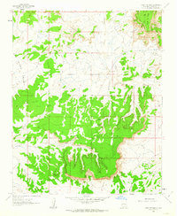
Torreon and the high point of Black Mtn anchor this high-desert landscape in Sandoval County, illustrating the delicate balance of life in the Eastern Navajo Agency. Water management is the primary theme of the terrain, with dozens of named reservoirs such as Thunderhead Tank, Geronimo Tank, and Old Hogan Tank scattered across the sagebrush-covered plains to support local livestock. These man-made features sit among a natural network of seasonal drainages, including Torreon Wash and San Isidro Wash, which have carved deep paths through the earth over centuries.
Find a feature on this map
42 named features on this map. Tap any name to fly to it.
Don’t see what you’re looking for? This feature index may not catch every label — zoom into the map to look around manually.
Map Details
Editions of this 2020 Wolf Stand Map
This is the sole edition of this map. No revisions or reprints were ever made.
Other maps of this area

1883 · Mt. Taylor
USGS Topo · 1:250,000

1886 · Mt. Taylor
USGS Topo · 1:250,000

1892 · Mt. Taylor
USGS Topo · 1:250,000

1899 · Mt. Taylor
USGS Topo · 1:250,000

1958 · Albuquerque
USGS Topo · 1:250,000
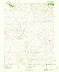
1961 · Ojo Encino Mesa
USGS Topo · 1:24,000
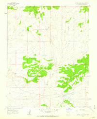
1961 · Johnson Trading Post
USGS Topo · 1:24,000
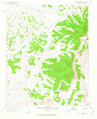
1961 · Headcut Reservoir
USGS Topo · 1:24,000

1961 · Arroyo Empedrado
USGS Topo · 1:24,000
1961 · Mesa Portales
USGS Topo · 1:24,000