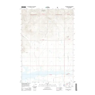
2014 Map of Wolverine Creek
USGS Topo · Published 2014About this map
The southern reaches of Beaverhead National Forest dominate the northern landscape of this Beaverhead County study, where drainage systems like E Fork Clover Cr and Second Wolverine Cr carve through high-elevation terrain. The topography is defined by significant landmarks such as Merden Peak, which overlooks a transition from wooded slopes to the open valley floor. In the south, the Red Rock River feeds into the expansive Lima Reservoir, a critical water feature for the region's agricultural and ecological health.
Find a feature on this map
29 named features on this map. Tap any name to fly to it.
Don’t see what you’re looking for? This feature index may not catch every label — zoom into the map to look around manually.
Map Details
Editions of this 2014 Wolverine Creek Map
This is the sole edition of this map. No revisions or reprints were ever made.
Other maps of this area

1955 · Dubois
USGS Topo · 1:250,000

1958 · Dubois
USGS Topo · 1:250,000

1968 · Stonehouse Mountain
USGS Topo · 1:24,000

1968 · Corral Creek
USGS Topo · 1:24,000

1968 · Big Table Mountain
USGS Topo · 1:24,000

1968 · Whiskey Spring
USGS Topo · 1:24,000

1968 · Lima Dam
USGS Topo · 1:24,000

1968 · Antelope Peak
USGS Topo · 1:24,000

1968 · Monida
USGS Topo · 1:24,000

1968 · Antone Peak
USGS Topo · 1:24,000