
1968 Map of Corral Creek
USGS Topo · Published 1972About this map
The Continental Divide defines the spine of this landscape, separating the headwaters of the Centennial Valley in Montana from the forested slopes of the Targhee National Forest in Idaho. At the base of the Centennial Mountains, the Union Pacific railroad corridor skirts the southwestern edge of the quadrangle near the settlement of Humphrey. This high-altitude crossing is characterized by numerous seasonal and perennial water sources, including the distinct Mud Lake and high-mountain seeps like Boatman Spring. The intricate drainage system is visible through the dendritic patterns of East Fork Corral Creek and Long Creek, which carve through the steep terrain along the Montana-Idaho state line. A small Gravel Pit near Price Creek indicates local extraction efforts in an otherwise largely unpopulated mountain frontier.
Find a feature on this map
27 named features on this map. Tap any name to fly to it.
Don’t see what you’re looking for? This feature index may not catch every label — zoom into the map to look around manually.
Map Details
Editions of this 1968 Corral Creek Map
2 editions found
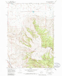
Other maps of this area

1955 · Dubois
USGS Topo · 1:250,000

1957 · Paul Reservoir
USGS Topo · 1:62,500

1958 · Dubois
USGS Topo · 1:250,000

1968 · Big Table Mountain
USGS Topo · 1:24,000

1968 · Lima Dam
USGS Topo · 1:24,000

1968 · Antelope Peak
USGS Topo · 1:24,000

1968 · Monida
USGS Topo · 1:24,000
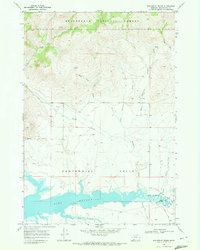
1968 · Wolverine Creek
USGS Topo · 1:24,000

1972 · Spencer North
USGS Topo · 1:24,000
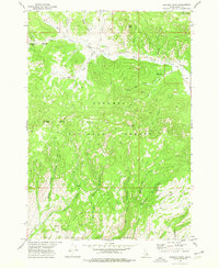
1972 · Lookout Point
USGS Topo · 1:24,000