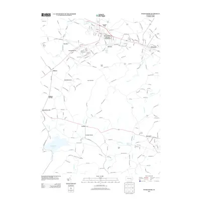
2013 Map of Womelsdorf
USGS Topo · Published 2013About this map
The Union Canal and Tulpehocken Cr define the northern valley of this Pennsylvania landscape, where the established boroughs of Womelsdorf and Robesonia anchor the local economy. The terrain transitions south into the heights of South Mountain and Eagle Peak, a geography that historically separated the Lebanon and Lancaster county drainage basins. At the southern foot of these hills, the Middle Creek Reservoir and Blue Lake sit near smaller crossroads settlements like Cocalico and Blainsport. The map records a mix of agricultural tradition and modern utility, from the Horse and Buggy Ln near Stricklerstown to the specialized Hurst Airport and the sprawling Bethany Childrens Home Spring. This 2013 data provides a clear record of the area's rural character, showing the distribution of family-run farms and small villages like Millbach Springs and Kleinfeltersville that have long populated this corridor.
Find a feature on this map
47 named features on this map. Tap any name to fly to it.
Don’t see what you’re looking for? This feature index may not catch every label — zoom into the map to look around manually.
Map Details
Editions of this 2013 Womelsdorf Map
This is the sole edition of this map. No revisions or reprints were ever made.
Other maps of this area

1891 · Lebanon
USGS Topo · 1:62,500

1893 · Lebanon
USGS Topo · 1:62,500

1899 · Lebanon
USGS Topo · 1:62,500

1902 · Wernersville
USGS Topo · 1:62,500

1902 · Lancaster
USGS Topo · 1:62,500

1904 · Lancaster
USGS Topo · 1:62,500

1906 · New Holland
USGS Topo · 1:62,500

1908 · New Holland
USGS Topo · 1:62,500

1941 · New Holland
USGS Topo · 1:62,500

1943 · Lancaster
USGS Topo · 1:62,500