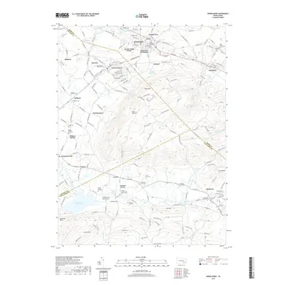
2019 Map of Womelsdorf
USGS Topo · Published 2019About this map
Womelsdorf and the neighboring boroughs of Robesonia and Richland anchor this 2019 survey of the Berks and Lancaster County line. The map highlights a significant concentration of early Pennsylvania German heritage, evidenced by numerous burial grounds such as the Conrad Weiser Gravesite and the Womelsdorf Union Cem. The landscape transitions from the developed corridors of William Penn Blvd and W Penn Ave toward the high ridges of South Mountain and Eagle Peak.
Find a feature on this map
70 named features on this map. Tap any name to fly to it.
Don’t see what you’re looking for? This feature index may not catch every label — zoom into the map to look around manually.
Map Details
Editions of this 2019 Womelsdorf Map
This is the sole edition of this map. No revisions or reprints were ever made.
Other maps of this area

1891 · Lebanon
USGS Topo · 1:62,500

1893 · Lebanon
USGS Topo · 1:62,500

1899 · Lebanon
USGS Topo · 1:62,500

1902 · Wernersville
USGS Topo · 1:62,500

1902 · Lancaster
USGS Topo · 1:62,500

1904 · Lancaster
USGS Topo · 1:62,500

1906 · New Holland
USGS Topo · 1:62,500

1908 · New Holland
USGS Topo · 1:62,500

1941 · New Holland
USGS Topo · 1:62,500

1943 · Lancaster
USGS Topo · 1:62,500