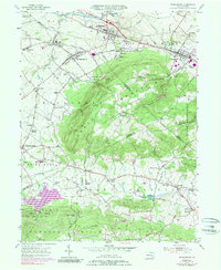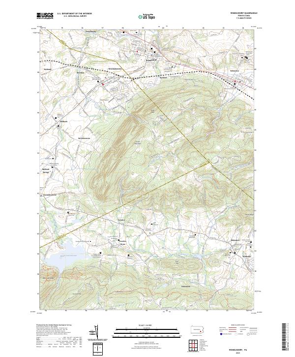
2023 Map of Womelsdorf
USGS Topo · Published 2023About this map
Womelsdorf and Robesonia anchor the northern reaches of this landscape, where the historical footprint of the Pennsylvania Germans is etched into the terrain through a high density of rural cemeteries and meeting houses. The Conrad Weiser Homestead and Memorial Park marks a site of colonial significance near Tulpehocken Creek, while the southern half of the map transitions into the high elevations of South Mountain and the Furnace Hills. Here, the land is defined by the Horse-Shoe Trl and large water features like the Middle Creek Reservoir, which serves the Middle Creek Game Preserve. The settlement patterns of Newmanstown, Kleinfeltersville, and Reinholds show a corridor of development following the base of the mountains, with family names preserved in sites like the Gensemer Family Cem and the Gockley Family Graveyard.
Find a feature on this map
75 named features on this map. Tap any name to fly to it.
Don’t see what you’re looking for? This feature index may not catch every label — zoom into the map to look around manually.
Map Details
Editions of this 2023 Womelsdorf Map
This is the sole edition of this map. No revisions or reprints were ever made.
Historical Maps of Clay Township Through Time
6 maps found