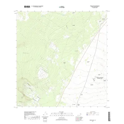
2017 Map of Wood Valley
USGS Topo · Published 2017About this map
Wood Valley and the settlement of Āinapō occupy a landscape defined by volcanic activity on the Island of Hawai'i. The map details a complex geological history, including the notable Keaiwa Lava Flow of 1823 and the Lava Flow of 1920, which underscore the active nature of the eastern terrain within Hawai'i Volcanoes National Park. Numerous gulches like Makakupu Gulch and Wai'akāloa Gulch drain the steep slopes, illustrating the relationship between rainwater runoff and volcanic soil.
Find a feature on this map
31 named features on this map. Tap any name to fly to it.
Don’t see what you’re looking for? This feature index may not catch every label — zoom into the map to look around manually.
Map Details
Editions of this 2017 Wood Valley Map
This is the sole edition of this map. No revisions or reprints were ever made.
Other maps of this area

1921 · Kilauea
USGS Topo · 1:62,500

1923 · Pahala
USGS Topo · 1:62,500

1924 · Kilauea
USGS Topo · 1:62,500

1924 · Honuapo
USGS Topo · 1:62,500

1928 · Mauna Loa
USGS Topo · 1:62,500

1954 · Hawaii South
USGS Topo · 1:250,000

1959 · Hawaii South
USGS Topo · 1:250,000

1961 · Hawaii South
USGS Topo · 1:250,000

1962 · Hawaii South
USGS Topo · 1:250,000
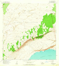
1963 · Kau Desert
USGS Topo · 1:24,000