Loading...
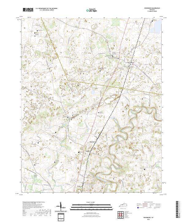
Loading map...2022 Map of Woodburn
USGS Topo · Published 2022About this map
Woodburn and the rural corridor between Warren and Simpson counties are defined by a rolling landscape of family cemeteries and traditional country churches. The geography is etched by the meandering West Fork Drakes Creek and the intermittent flow of Sinking Cr, which cut through the agricultural heartland of southern Kentucky. The town of Woodburn serves as a central hub, anchored by congregations like the Woodburn First Baptist Church and Saint Paul AME Church.
Find a feature on this map
88 named features on this map. Tap any name to fly to it.
Don’t see what you’re looking for? This feature index may not catch every label — zoom into the map to look around manually.
Map Details
Date Portrayed2022
Date Published2022
PublisherU.S. Geological Survey
Map TypeTopographic
Scale1:24000
Physical Dimensions24 x 29 inches
Editions of this 2022 Woodburn Map
This is the sole edition of this map. No revisions or reprints were ever made.
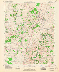
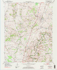
Historical Maps of Franklin Through Time
3 maps found
Featured Locations
Source Details
SourceU.S. Geological Survey
CopyrightPublic Domain