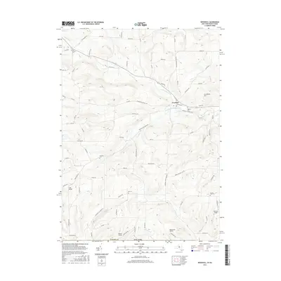
2016 Map of Woodhull
USGS Topo · Published 2016About this map
Woodhull serves as the primary hub of this Steuben County landscape, situated at the confluence of Tuscarora Creek and the South Branch Tuscarora Creek. The 2016 topography reveals a region of deeply carved valleys and high points like Earl Beatty Hill, where the drainage patterns of Bulkley Brook and Holden Cr define the rural character. For those researching local lineages, the map identifies several distinct burial grounds scattered across the hills, including Five Corners Cem and the Norway Ridge Cem.
Find a feature on this map
83 named features on this map. Tap any name to fly to it.
Don’t see what you’re looking for? This feature index may not catch every label — zoom into the map to look around manually.
Map Details
Editions of this 2016 Woodhull Map
This is the sole edition of this map. No revisions or reprints were ever made.
Other maps of this area

1899 · Gaines
USGS Topo · 1:62,500

1900 · Gaines
USGS Topo · 1:62,500

1900 · Elkland
USGS Topo · 1:62,500

1924 · Woodhull
USGS Topo · 1:48,000

1926 · Woodhull
USGS Topo · 1:62,500

1926 · Greenwood
USGS Topo · 1:62,500

1944 · Woodhull
USGS Topo · 1:62,500

1950 · Elmira
USGS Topo · 1:250,000

1953 · Cameron
USGS Topo · 1:24,000

1953 · Woodhull
USGS Topo · 1:24,000