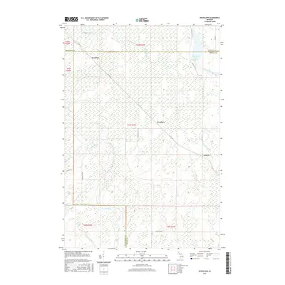
2017 Map of Woodlawn
USGS Topo · Published 2017About this map
Hendricks, Woodlawn, and Kingsley are primary markers of human settlement in this Upper Peninsula landscape where Menominee, Delta, and Marquette counties converge. The geography is defined by its water systems, most notably the Escanaba River carving through the northeast corner and the Ford River winding across the southern sections. This 2017 survey reveals a network of rural routes and localized trails, such as Finn Dad Trl and Truax 24th Rd, which navigate around extensive wetlands and low-lying basins. The northern reach is punctuated by the Boney Falls Basin and the nearby Rose Falls (West), while smaller tributaries like Hunters Brook and Twentyfour Mile Cr drain the dense terrain. The sparse distribution of named points highlights the area's character as a managed timber and natural resource corridor rather than an urban center.
Find a feature on this map
29 named features on this map. Tap any name to fly to it.
Don’t see what you’re looking for? This feature index may not catch every label — zoom into the map to look around manually.
Map Details
Editions of this 2017 Woodlawn Map
This is the sole edition of this map. No revisions or reprints were ever made.
Other maps of this area

1932 · Rock SW
USGS Topo · 1:31,680

1932 · Whitney NE
USGS Topo · 1:31,680

1932 · Whitney SE
USGS Topo · 1:31,680

1932 · Helena SW
USGS Topo · 1:31,680

1932 · Gladstone SW
USGS Topo · 1:31,680

1932 · Helena
USGS Topo · 1:31,680

1932 · Gladstone NW
USGS Topo · 1:31,680

1950 · Gladstone NW
USGS Topo · 1:31,680

1951 · Helena SW
USGS Topo · 1:31,680

1951 · Helena
USGS Topo · 1:31,680