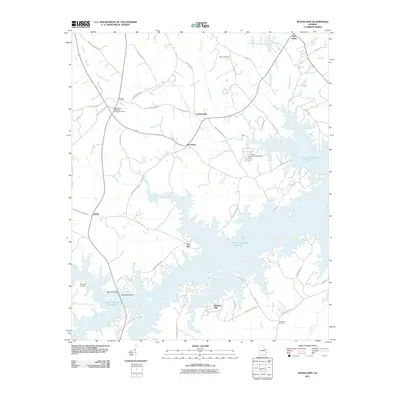
2011 Map of Woodlawn
USGS Topo · Published 2011About this map
The J. Strom Thurmond Reservoir dominates this landscape, its sprawling fingers reaching into the rural heart of Lincoln County. The shoreline creates a complex geography of peninsulas and coves where traditional crossroads settlements like Amity and Clay Hill meet the modern water's edge. This 2011 survey reveals the enduring rural character of the area, punctuated by longstanding landmarks such as Saint Pauls Methodist Church and its associated cemetery.
Find a feature on this map
55 named features on this map. Tap any name to fly to it.
Don’t see what you’re looking for? This feature index may not catch every label — zoom into the map to look around manually.
Map Details
Editions of this 2011 Woodlawn Map
This is the sole edition of this map. No revisions or reprints were ever made.
Other maps of this area

1892 · Mc Cormick
USGS Topo · 1:125,000

1906 · Crawfordville
USGS Topo · 1:125,000

1912 · Mc Cormick
USGS Topo · 1:125,000

1921 · Appling
USGS Topo · 1:62,500

1943 · Appling
USGS Topo · 1:62,500

1953 · Athens
USGS Topo · 1:250,000

1954 · Metasville
USGS Topo · 1:24,000

1958 · Athens
USGS Topo · 1:250,000

1959 · Athens
USGS Topo · 1:250,000

1963 · Athens
USGS Topo · 1:250,000