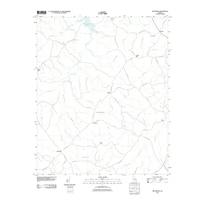
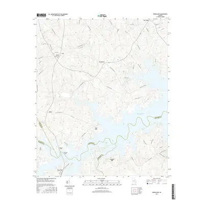
1971 Map of Woodlawn
USGS Topo · Published 1974About this map
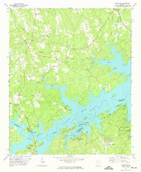
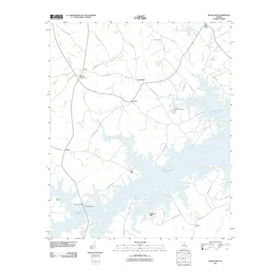
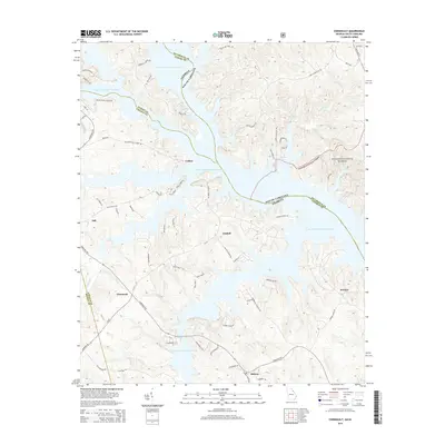
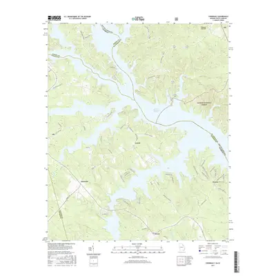
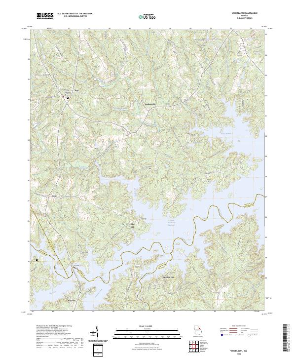
Clark Hill Lake dominates the central and eastern portions of this 1971 survey, showing a landscape defined by the impoundment of the Little River. This reservoir has reshaped the local geography where Lincoln and Columbia counties meet, creating an intricate shoreline of inlets and points now utilized for recreation at Mistletoe State Park and various boat ramps. Inland, the map documents a network of rural settlements and spiritual centers that predate the reservoir's full development.
Find a feature on this map
34 named features on this map. Tap any name to fly to it.
Don’t see what you’re looking for? This feature index may not catch every label — zoom into the map to look around manually.
Map Details
Editions of this 1971 Woodlawn Map
This is the sole edition of this map. No revisions or reprints were ever made.
Historical Maps of Loce Through Time
18 maps found
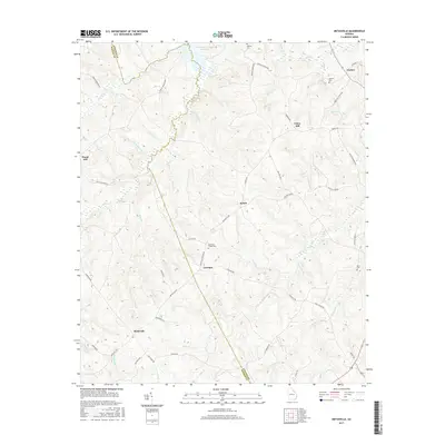
1954 Metasville
Lincoln County, GA
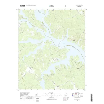
1955 Chennault
Lincoln County, GA
1971 Woodlawn
Lincoln County, GA
2011 Chennault
Lincoln County, GA
2011 Metasville
Lincoln County, GA
2011 Woodlawn
Lincoln County, GA
2014 Chennault
Lincoln County, GA

2014 Metasville
Lincoln County, GA

2014 Woodlawn
Lincoln County, GA
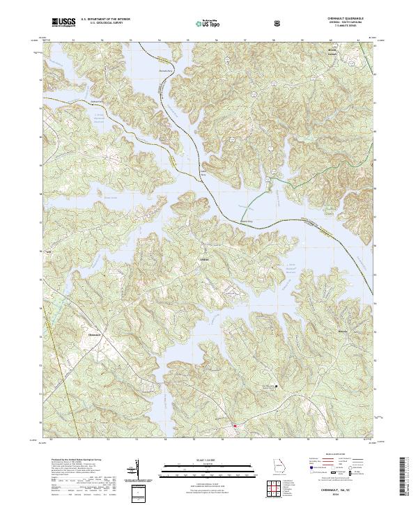
2017 Chennault
Lincoln County, GA
2017 Metasville
Lincoln County, GA
2017 Woodlawn
Lincoln County, GA
2020 Chennault
Lincoln County, GA

2020 Metasville
Lincoln County, GA

2020 Woodlawn
Lincoln County, GA
2024 Chennault
Lincoln County, GA
2024 Metasville
Lincoln County, GA
2024 Woodlawn
Lincoln County, GA