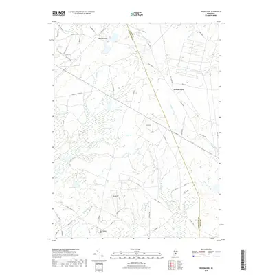
2019 Map of Woodmansie
USGS Topo · Published 2019About this map
Woodmansie and Red Oak Grove anchor this portion of the New Jersey Pine Barrens, a landscape defined by an intricate network of narrow streams and wetland basins. The area is characterized by a high concentration of cedar swamps and sandy plains, with names like Bear Swamp Hill and Goose Pond reflecting the low-lying, water-logged geography. Central to the map is Coyle Field, an aviation facility surrounded by fire-prone pitch pine forest.
Find a feature on this map
69 named features on this map. Tap any name to fly to it.
Don’t see what you’re looking for? This feature index may not catch every label — zoom into the map to look around manually.
Map Details
Editions of this 2019 Woodmansie Map
This is the sole edition of this map. No revisions or reprints were ever made.
Other maps of this area

1884 · Whitings
USGS Topo · 1:62,500

1888 · Pemberton
USGS Topo · 1:62,500

1888 · Little Egg Harbor
USGS Topo · 1:62,500

1888 · Whitings
USGS Topo · 1:62,500

1890 · Mullica
USGS Topo · 1:62,500

1893 · Little Egg Harbor
USGS Topo · 1:62,500

1894 · Pemberton
USGS Topo · 1:62,500

1894 · Mullica
USGS Topo · 1:62,500

1898 · Pemberton
USGS Topo · 1:62,500

1898 · Mullica
USGS Topo · 1:62,500
Featured Places
- Manchester Township, NJ
- Stafford Township, NJ
- Lacey Township, NJ
- Barnegat Township, NJ
- Little Egg Harbor Township, NJ