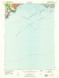
1951 Map of Woodmont
USGS Topo · Published 1959About this map
Long Island Sound dominates this mid-century coastal survey, framing the residential and nautical development of the New Haven shoreline. The map reveals the intricate shoreline from Woodmont and Merwin Pt in the west to the recreational stretches of West Silver Sands Beach and Momauguin in the east. Coastal navigation is a primary focus, marked by the Luddington Rock Breakwater and the iconic New Haven Lighthouse at Lighthouse Pt. This era shows a landscape of established beach communities and localized infrastructure, including the Linwood Sch serving the West Shore area. The detailed hydrography and soundings illustrate the shallow approaches to the harbor, while inland, the transition between Orange, West Haven, and New Haven shows the post-war suburban footprint beginning to solidify behind the older maritime settlements.
Find a feature on this map
32 named features on this map. Tap any name to fly to it.
Don’t see what you’re looking for? This feature index may not catch every label — zoom into the map to look around manually.
Map Details
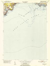
Editions of this 1951 Woodmont Map
2 editions found
Other maps of this area

1889 · Derby
USGS Topo · 1:62,500

1891 · Bridgeport
USGS Topo · 1:62,500

1891 · Derby
USGS Topo · 1:62,500

1892 · New Haven
USGS Topo · 1:62,500

1893 · Bridgeport
USGS Topo · 1:62,500

1893 · Derby
USGS Topo · 1:62,500

1920 · Bridgeport
USGS Topo · 1:62,500

1921 · New Haven
USGS Topo · 1:62,500

1943 · New Haven
USGS Topo · 1:31,680

1947 · Hartford
USGS Topo · 1:250,000