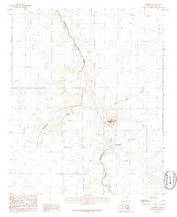
1986 Map of Woodruff
USGS Topo · Published 1986About this map
The settlement of Woodruff occupies a vital bend where the Little Colorado River winds through the high desert of the Colorado Plateau. This mid-1980s provisional survey shows the community clustered near the river’s edge, supported by hydraulic features like Woodruff Lake and irrigation paths that contrast with the surrounding arid drainage systems of Washboard Wash and Carr Lake Draw. The landscape is dominated by the volcanic profile of Woodruff Butte, a prominent landmark rising west of the town site. Local infrastructure is primarily rural, including a small Cem and several Gravel Pit operations, indicating a local economy tied to the land and essential resource extraction during this period of Navajo County's development.
Find a feature on this map
9 named features on this map. Tap any name to fly to it.
Don’t see what you’re looking for? This feature index may not catch every label — zoom into the map to look around manually.
Map Details
Editions of this 1986 Woodruff Map
This is the sole edition of this map. No revisions or reprints were ever made.
Other maps of this area

1886 · St Johns
USGS Topo · 1:250,000

1886 · Holbrook
USGS Topo · 1:250,000

1892 · St Johns
USGS Topo · 1:250,000

1893 · Holbrook
USGS Topo · 1:250,000

1912 · Petrified Forest
USGS Topo · 1:62,500

1954 · Holbrook
USGS Topo · 1:250,000

1954 · Saint Johns
USGS Topo · 1:250,000

1955 · Petrified Forest
USGS Topo · 1:62,500

1955 · St. Joseph 1 NE
USGS Topo · 1:24,000

1955 · St. Joseph 1 SE
USGS Topo · 1:24,000