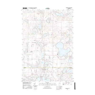
2015 Map of Woodruff
USGS Topo · Published 2015About this map
Minocqua and Arbor Vitae sit at the center of this glacial lake landscape, where the boundary between Vilas Co and Oneida Co divides a dense network of water bodies and recreational infrastructure. The presence of Lakeland Airport/Noble F. Lee Memorial Field and several established cemeteries like Evergreen Cem and Forest Garden Cem indicate the long-term settlement of this Northwoods region. The terrain is defined by large water bodies such as Big Arbor Vitae Lake, which includes Lucia Bay and Gravelly Bay, and the intricate shoreline of Little Spider Lake. The map details a sophisticated local transportation network, including the Snowmobile Trl and various lake-access roads like Vandercook Rd and Spruce Rd, reflecting the area's development as a primary destination for seasonal residents and outdoor tourism.
Find a feature on this map
161 named features on this map. Tap any name to fly to it.
Don’t see what you’re looking for? This feature index may not catch every label — zoom into the map to look around manually.
Map Details
Editions of this 2015 Woodruff Map
This is the sole edition of this map. No revisions or reprints were ever made.
Other maps of this area

1938 · Minocqua
USGS Topo · 1:48,000

1938 · Lac Du Flambeau
USGS Topo · 1:48,000

1939 · Trout Lake
USGS Topo · 1:48,000

1939 · Lac Du Flambeau
USGS Topo · 1:48,000

1939 · Winchester
USGS Topo · 1:48,000

1946 · Winchester
USGS Topo · 1:48,000

1946 · Minocqua
USGS Topo · 1:48,000

1946 · Lac Du Flambeau
USGS Topo · 1:48,000

1946 · Trout Lake
USGS Topo · 1:48,000

1949 · Trout Lake
USGS Topo · 1:48,000