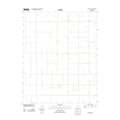
2012 Map of Woods SE
USGS Topo · Published 2012About this map
The agrarian landscape of Seward County is meticulously gridded by an extensive network of local thoroughfares, illustrating the precision of High Plains land division. This 2012 survey by the U.S. Geological Survey shows a system of section-line roads, including the prominent north-south Co Road A and the primary east-west corridors such as Road J and 2nd St Rd. The infrastructure here is typical of the region's agricultural layout, where the terrain is dominated by vast tracts of open land punctuated only by the occasional watering hole or isolated structures. The progression of named routes from Road 0 southward to Road 1 S and Road 2 S reveals a systematic approach to rural navigation, essential for the transport of goods and livestock across the Kansas plains.
Find a feature on this map
17 named features on this map. Tap any name to fly to it.
Don’t see what you’re looking for? This feature index may not catch every label — zoom into the map to look around manually.
Map Details
Editions of this 2012 Woods SE Map
This is the sole edition of this map. No revisions or reprints were ever made.
Other maps of this area

1954 · Perryton
USGS Topo · 1:250,000

1955 · Dodge City
USGS Topo · 1:250,000

1958 · Perryton
USGS Topo · 1:250,000

1958 · Dodge City
USGS Topo · 1:250,000

1959 · Dodge City
USGS Topo · 1:250,000

1967 · Hooker NW
USGS Topo · 1:24,000

1967 · Tyrone
USGS Topo · 1:24,000

1968 · Liberal NW
USGS Topo · 1:24,000

1971 · Liberal
USGS Topo · 1:24,000

1973 · Little Ponderosa
USGS Topo · 1:24,000