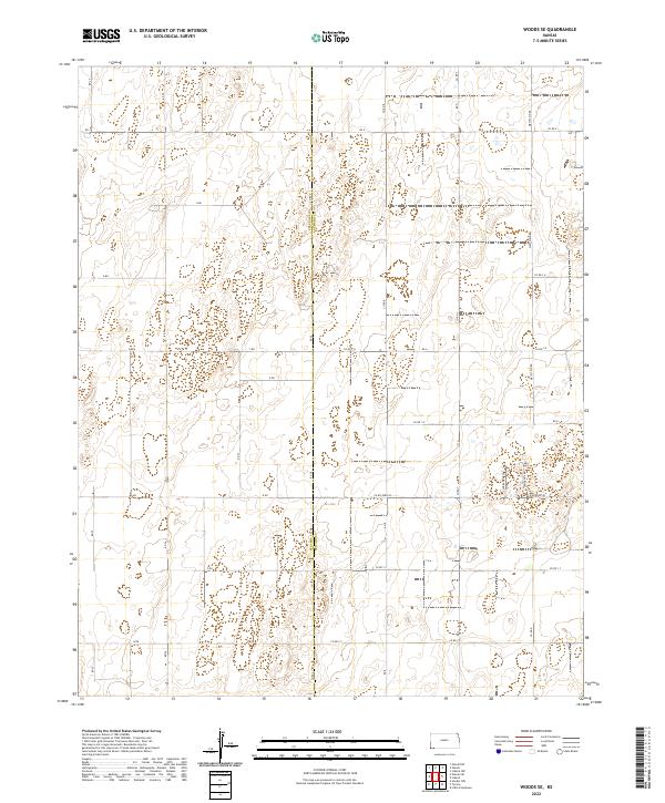
2022 Map of Woods SE
USGS Topo · Published 2022About this map
The boundary of Stevens Co Seward Co bisects this High Plains landscape, where the Jeffersonian grid of the Public Land Survey System creates a perfectly rectangular network of section lines and rural roads. This 2022 survey captures a sparsely populated agricultural environment in southwest Kansas, defined by its precise geometry and intermittent wetlands. The transportation infrastructure is dominated by lettered and numbered routes such as Co Rd A and Rd 28, which serve as the primary conduits for farm-to-market travel. Unlike the strictly alphanumeric grid of the surrounding townships, unique local identifiers like Wide Awake Ln and Jane Ann Ln suggest family legacies or specific local histories along the eastern edge of the quadrangle. The terrain is characterized by subtle depressions and the absence of major perennial waterways, reflecting the arid conditions of the region.
Find a feature on this map
37 named features on this map. Tap any name to fly to it.
Don’t see what you’re looking for? This feature index may not catch every label — zoom into the map to look around manually.
Map Details
Editions of this 2022 Woods SE Map
This is the sole edition of this map. No revisions or reprints were ever made.
Other maps of this area

1954 · Perryton
USGS Topo · 1:250,000

1955 · Dodge City
USGS Topo · 1:250,000

1958 · Perryton
USGS Topo · 1:250,000

1958 · Dodge City
USGS Topo · 1:250,000

1959 · Dodge City
USGS Topo · 1:250,000

1967 · Hooker NW
USGS Topo · 1:24,000

1967 · Tyrone
USGS Topo · 1:24,000

1968 · Liberal NW
USGS Topo · 1:24,000

1971 · Liberal
USGS Topo · 1:24,000

1973 · Little Ponderosa
USGS Topo · 1:24,000