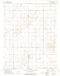
1974 Map of Woods SE
USGS Topo · Published 1976About this map
Stevens and Seward County borderlands in southwest Kansas are defined by a high-plains energy landscape during the mid-1970s. The map illustrates a dense grid of resource extraction, with numerous Gas Well and Oil Well sites scattered across the townships of Banner and Liberal. The agricultural and ranching character of the region is punctuated by community focal points such as the Community Hall and the settlement of Dewey near the southern border. A Compressor Station and a local Sandpit indicate the infrastructure necessary to support the local economy. Just south of the state line, the survey extends briefly into the northern reaches of Texas County, Oklahoma, capturing the trans-border connectivity of this rural corridor.
Find a feature on this map
12 named features on this map. Tap any name to fly to it.
Don’t see what you’re looking for? This feature index may not catch every label — zoom into the map to look around manually.
Map Details
Editions of this 1974 Woods SE Map
This is the sole edition of this map. No revisions or reprints were ever made.
Other maps of this area

1954 · Perryton
USGS Topo · 1:250,000

1955 · Dodge City
USGS Topo · 1:250,000

1958 · Perryton
USGS Topo · 1:250,000

1958 · Dodge City
USGS Topo · 1:250,000

1959 · Dodge City
USGS Topo · 1:250,000

1967 · Hooker NW
USGS Topo · 1:24,000

1967 · Tyrone
USGS Topo · 1:24,000

1968 · Liberal NW
USGS Topo · 1:24,000

1971 · Liberal
USGS Topo · 1:24,000

1973 · Little Ponderosa
USGS Topo · 1:24,000